Glaciers and Avalanche
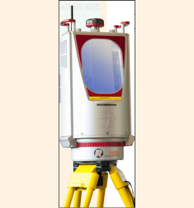
Our Laser Scanning solutions based on RIEGL 3D Terrestrial Laser Scanner are being used for various Landslide Monitoring applications such as:
- Generating 3D Digital Terrain Model (DTM).
- Glacier and Snow field mapping.
- Change/movement detection in snow bound area for monitoring Avalanches
- Volume of snow displaced due to avalanche.
- Volume and snow level changes calculation before and after Glacial Lake Outburst Flood (GLOF)
- Georeferencing of any area under observation.
- Calculating area, distance, angle, and ‘elevation difference’ between any two points in an area of interest.
- Generating cross-sections and contours of an area of interest.

