Archeology and Cultural Heritage Documentation
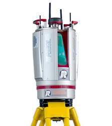
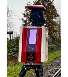
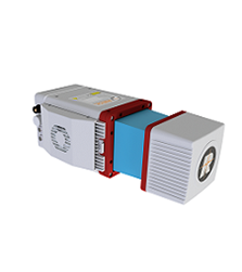
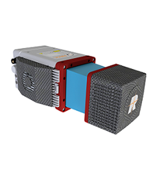
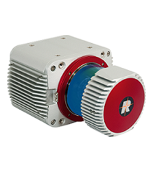
Our Laser Scanning solutions based on RIEGL 3D Terrestrial Laser Scanner are being used for documentation of various Archaeological Heritage sites such as:
- Generation of detailed 3D solid models
- Architecture and Façade measurement applications
- Archaeology and Cultural Heritage documentation applications
- Archaeological caves and historical tunnel documentation applications
- Georeferencing of any area under observation.
- Calculating area, distance, angle, and ‘elevation difference’ between any two points in an area of interest.
- Generating cross-sections and contours of an area of interest.

