Forestry Applications
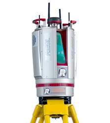
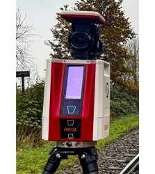
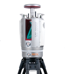
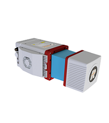
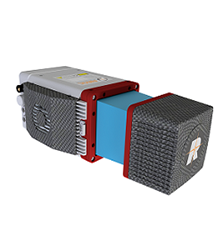
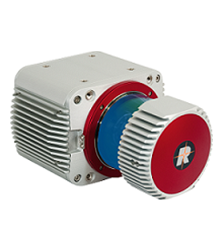
Our Laser Scanning solutions based on RIEGL 3D Terrestrial Laser Scanner are being used for various Forestry applications such as:
- Multi-target capability enables excellent vegetation penetration and the computing of detailed 3D terrain models
- Vegetation masking applications
- Canopy modelling of the forest trees
- Single tree delineation in a forest
- Crown coverage of the forest
- Stem extraction of trees in a forest
- Georeferencing of a tree position
- Assigning tree ID to individual trees
- Evaluating diameter at Breast Height (DBH)
- Calculating tree height
- Calculating crown area of tree
- Calculating crown diameter of a tree
- Georeferencing of any area under observation.
- Calculating area, distance, angle, and ‘elevation difference’ between any two points in an area of interest.
- Generating cross-sections and contours of an area of interest.

