Forestry Applications
Meatech Solutions
Forestry “point cloud” of a forest area
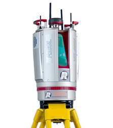
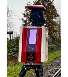
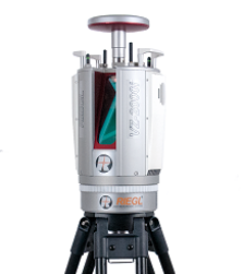
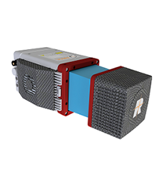
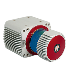
The RIEGL VZ Terrestrial Laser Scanners having a cutting-edge 3D LiDAR Scanning Technology. Our 3D Scanners fires rapid pulses of laser light at a surface up to 5,00,000 pulses per second and a sensor on the scanner measures the amount of time it takes for each pulse to bounce back. By repeating this process repeatedly very fast, the Scanner builds up a realistic 3-D scenery called as “point cloud” of a forest area.
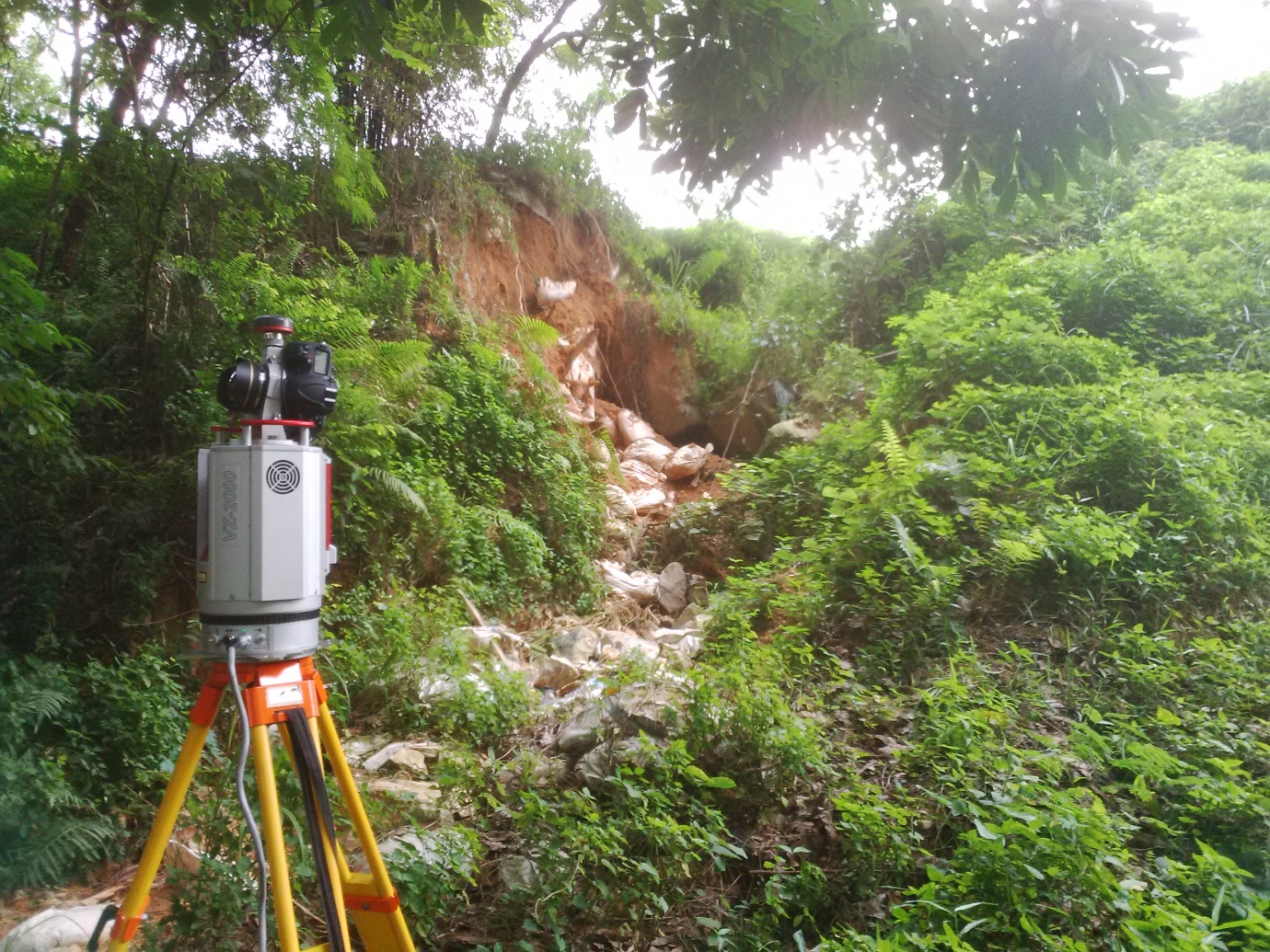
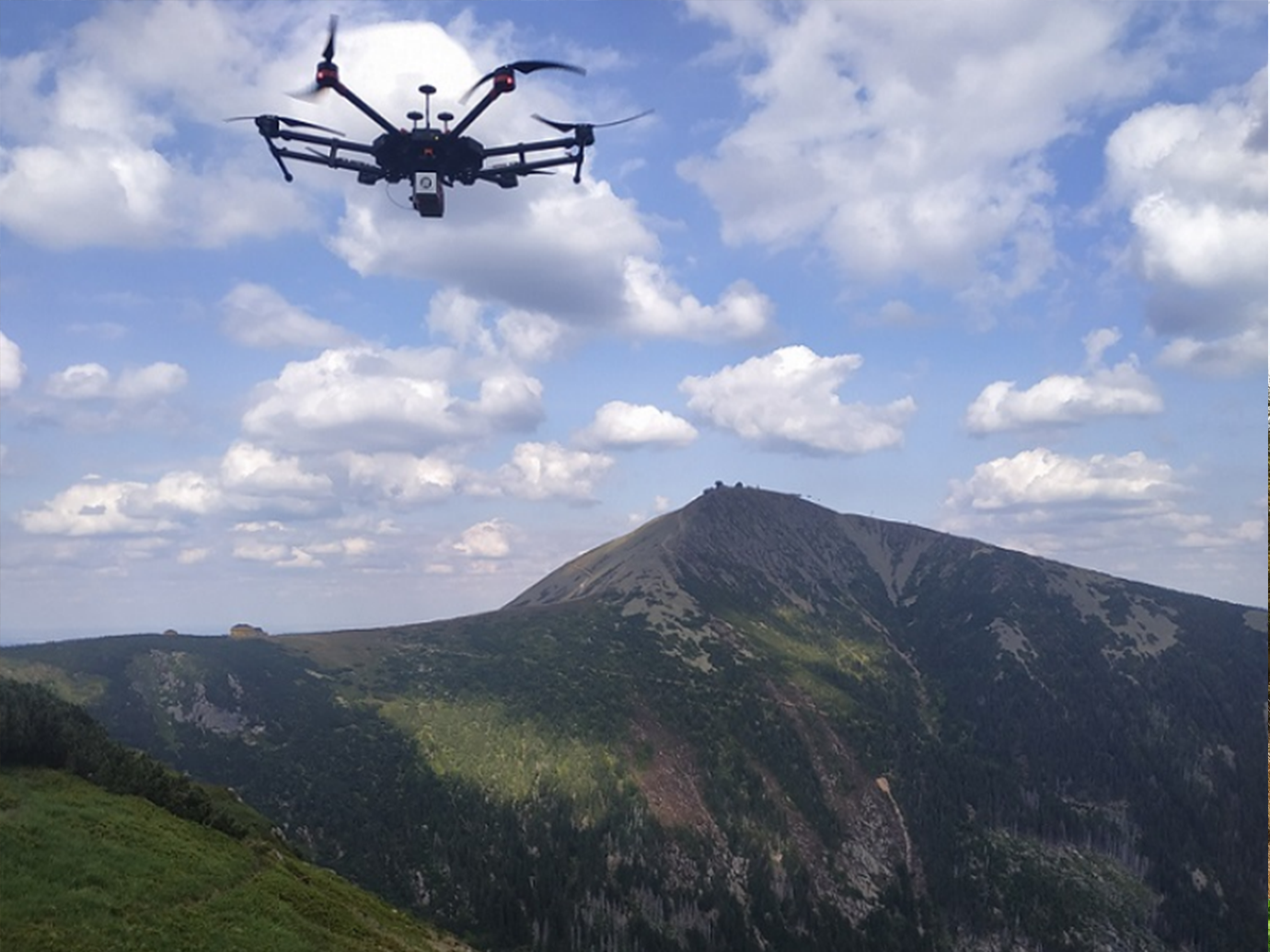
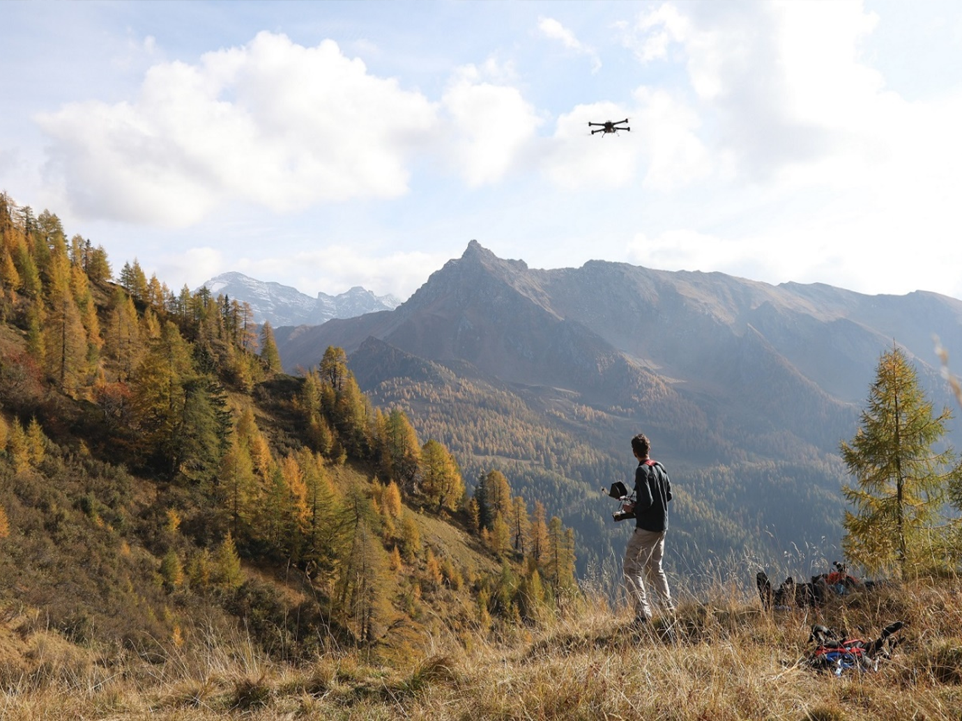
Our Laser Scanning solutions based on RIEGL 3D Terrestrial Laser Scanner are being used for various Forestry applications such as:
- Multi-target capability enables excellent vegetation penetration and the computing of detailed 3D terrain models
- Vegetation masking applications
- Canopy modelling of the forest trees
- Single tree delineation in a forest
- Crown coverage of the forest
- Stem extraction of trees in a forest
- Georeferencing of a tree position
- Assigning tree ID to individual trees
- Evaluating diameter at Breast Height (DBH)
- Calculating tree height
- Calculating crown area of tree
- Calculating crown diameter of a tree
- Georeferencing of any area under observation.
- Calculating area, distance, angle, and ‘elevation difference’ between any two points in an area of interest.
- Generating cross-sections and contours of an area of interest.
| Range up to 800m | Range up to 1000m | Range up to 2500m |
| 3600 Field of view | ||
| Acquisition of 3-D point cloud with millions of points collected within a minute | ||
| Specially designed cutting edge “LIS Tree Analyzer” module for accomplishing various forestry applications | ||
| Highly effective in classifying different features based on reflectance | ||
| Highly accurate and precise data with few millimetres’ accuracy and precision | ||
| Multiple target capability (Capability to penetrate vegetations up to 15 targets) | ||
| Simultaneous image and scan data acquisition | ||
| Freedom from stationing the scanner over a known point station | ||
| Modes of operations: Onboard standalone qwerty touchscreen/remote control through mobile, laptop and tablets | ||
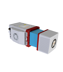
| Range up to 330m | Range up to 330m | Range up to 1415m |
| 3600 Field of view | ||
| Acquisition of 3-D point cloud with millions of points collected within a minute | ||
| Specially designed cutting edge “LIS Tree Analyzer” module for accomplishing various forestry applications | ||
| Highly effective in classifying different features based on reflectance | ||
| Simultaneous image and scan data acquisition | ||
| Highly accurate and precise data with few millimetres’ accuracy and precision | ||
| Highly effective in collecting dense point cloud data from natural surfaces | ||
| Multiple target capability (Capability to penetrate vegetations up to 5 targets) | Multiple target capability (Capability to penetrate vegetations up to 5 targets) | Multiple target capability (Capability to penetrate vegetations up to 15 targets) |

