Landslide Monitoring
Meatech Solutions
Landslide Monitoring
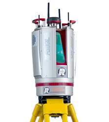
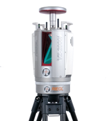
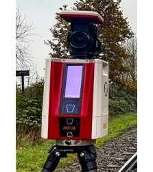
The RIEGL VZ Terrestrial Laser Scanners having a cutting-edge 3D LiDAR Scanning Technology. Our 3D Scanners fires rapid pulses of laser light at a surface up to 5,00,000 pulses per second and a sensor on the scanner measures the amount of time it takes for each pulse to bounce back. By repeating this process repeatedly very fast, the Scanner builds up a realistic 3-D scenery called as “point cloud” of a landslide affected area.
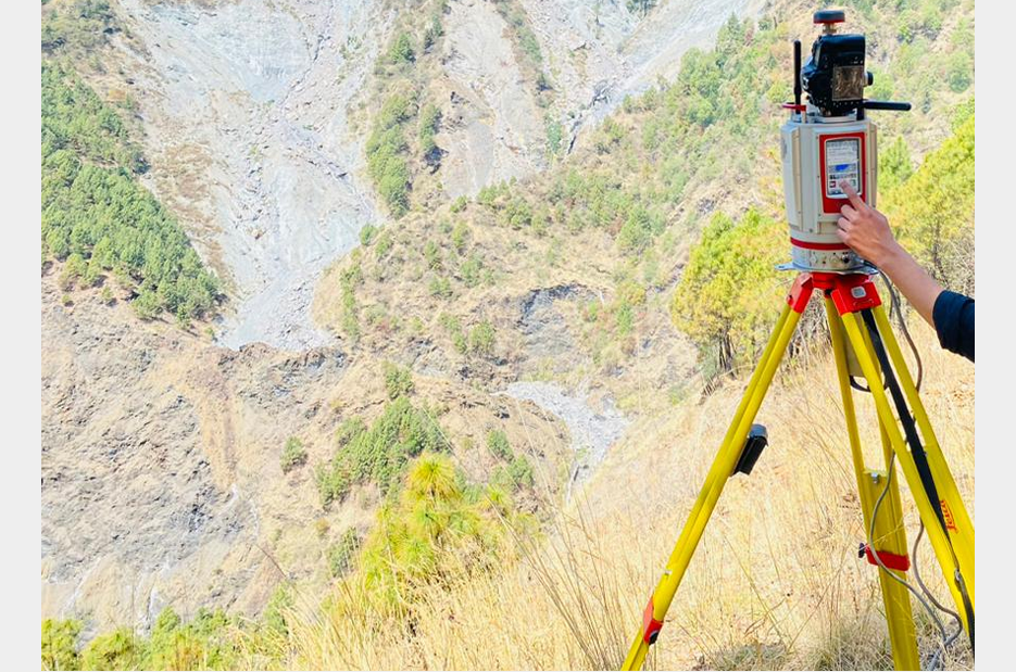

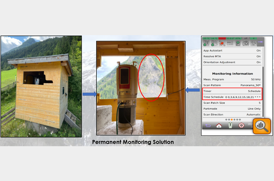
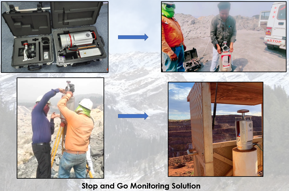
Our Laser Scanning solutions based on RIEGL 3D Terrestrial Laser Scanner are being used for various Landslide monitoring applications such as:
- Generating 3D Digital Terrain Model (DTM).
- To detect movements of landslides from very far away.
- No need to go to the landslide prone zone.
- A time series of scans allows the prediction of a possible slope failure.
- Georeferencing of any area under observation.
- Calculating area, distance, angle, and ‘elevation difference’ between any two points in an area of interest.
- Generating cross-sections and contours of an area of interest.
| Range up to 800m | Range up to 1000m | Range up to 2500m |
| 3600 Field of view | ||
| Equipped with cutting edge “monitoring+ app” especially designed for landslide monitoring | ||
| Acquisition of 3-D point cloud with millions of points for comprehensive landslide monitoring application | ||
| Comes with: 1. “Permanent Monitoring Solution” for an active landslide region. 2. “Stop and Go Monitoring solution” to detect any initial movement in a potential landslide prone region. | ||
| Multiple target capability (Capability to penetrate vegetations up to 15 targets) | ||
| Facility to access live results of a landslide monitoring anywhere in the world through internet connection | ||
| Freedom from stationing the scanner over a known point station | ||
| Modes of operations: Onboard standalone qwerty touchscreen/remote control through mobile, laptop and tablets | ||
| Highly accurate and precise landslide monitoring data | ||

