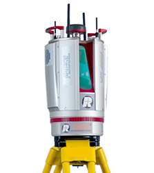
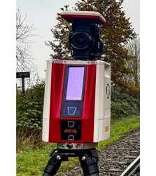
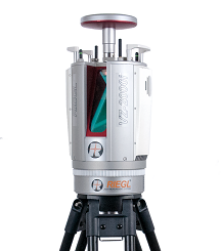
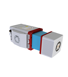
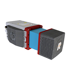
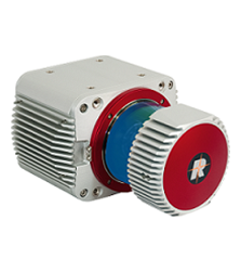
Our Laser Scanning solutions based on RIEGL 3D Terrestrial Laser Scanner are being used in India for various Topographical Survey applications such as:
Generating 3D Digital Terrain Model (DTM).
Georeferencing of any area under observation.
Calculating area, distance, angle, and ‘elevation difference’ between any two points in an area of interest.
Generating cross-sections and contours of an area of interest.
Urban planning
Railway, highway and tunnel survey application.
Designing drainage schemes
Civil engineering and construction decision making applications.

